Active

Gulmarg Matrix
2,650MComplete execution framework for ticketing phases, back-country ski passes, avalanche warnings, and high-altitude weather updates.
Access vendor-neutral logistical timetables, high-altitude pass closures, independent trekking coordinates, and precise regional tracking maps.
Live localized infrastructure conditions, official registration paths, and seasonal accessibility breakdowns verified by local spotters.
Complete execution framework for ticketing phases, back-country ski passes, avalanche warnings, and high-altitude weather updates.
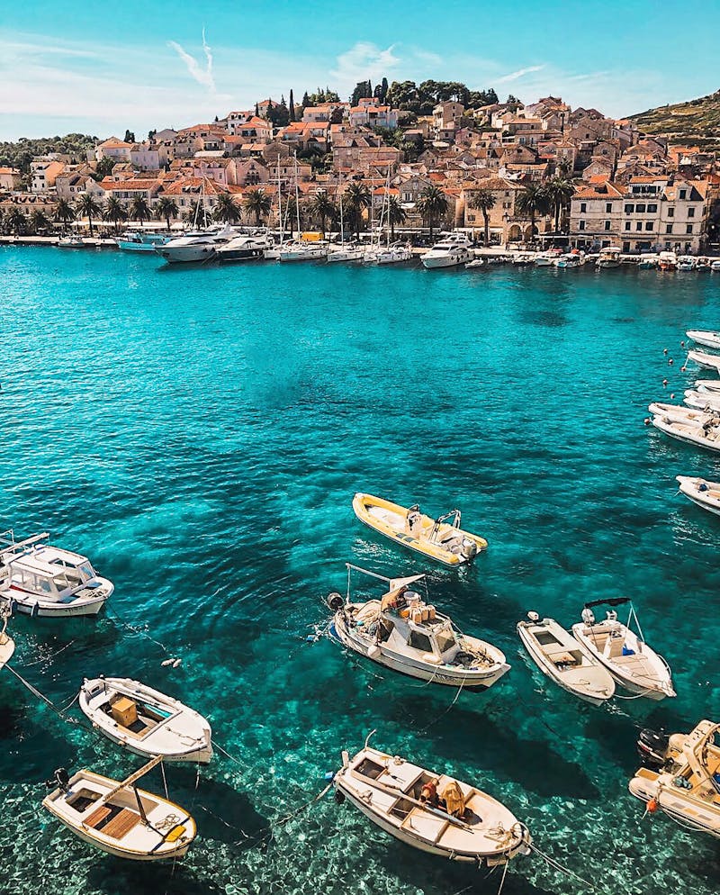
Verified regional house-boat registration parameters, non-sponsored pricing trackers for independent Shikara transits, and urban pathways.
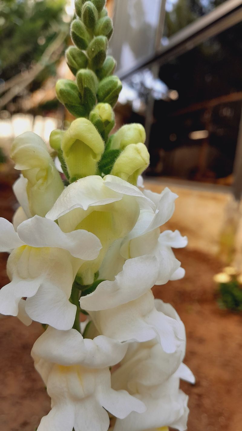
Step-by-step documentation for Lidder River trails, registration pathways for Aru valley independent guides, and dynamic checkpoint updates.
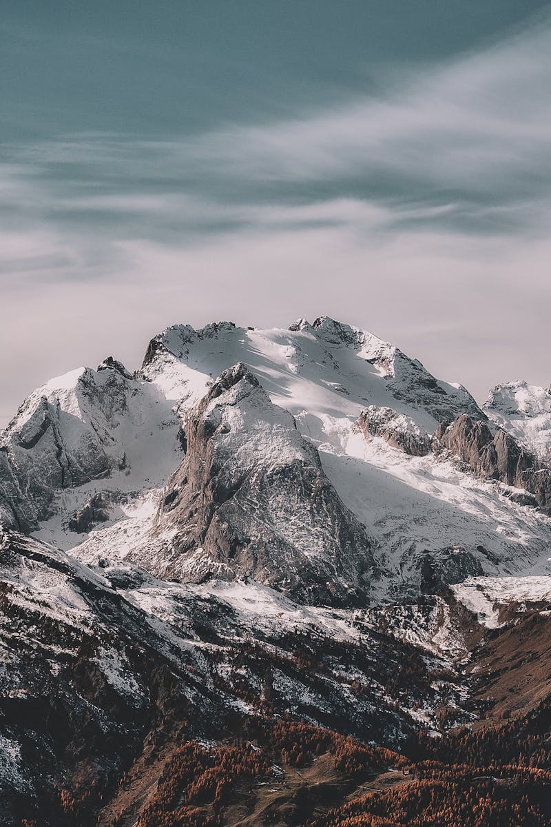
Live tracking for the Thajiwas Glacier approach, Zojila pass closure timetables, and high-altitude acclimatization protocols.
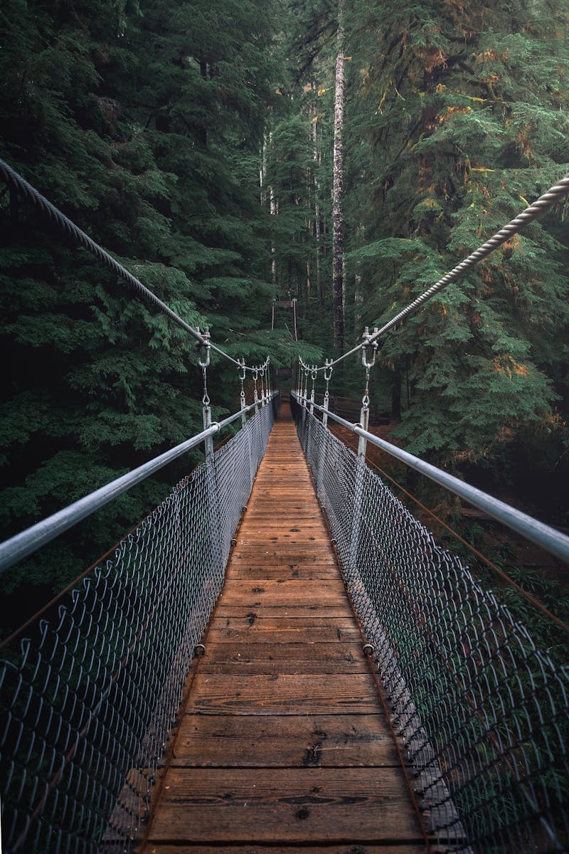
Navigational metrics for the Razdan Pass, verified homestay registers, and border zone permit processing frameworks.
Off-grid mapping for Doodh Ganga paths, pony transit standard rates, and verified camping zone coordinates.

We don't just provide data; we build the systems that manage it. Our internal page architecture and routing logic are designed for absolute precision, ensuring you receive unsponsored, uncompromised travel intelligence.
We aggregate crowd-verified logs daily, cross-referencing with local authorities to secure individual travel parameters across open tracking corridors.
Real-time roadway landslide diversion paths updated via field logs and validated by highway control endpoints.
Itinerary architecture built directly to account for local mountain road speed caps and weather delays.
Direct tracking numbers for regional zone transport offices, local checkpoints, and emergency outposts.
Zero spam tracking metrics. Get pure, unfiltered monthly policy adjustments, trekking route updates, and regional transit pricing corrections securely.